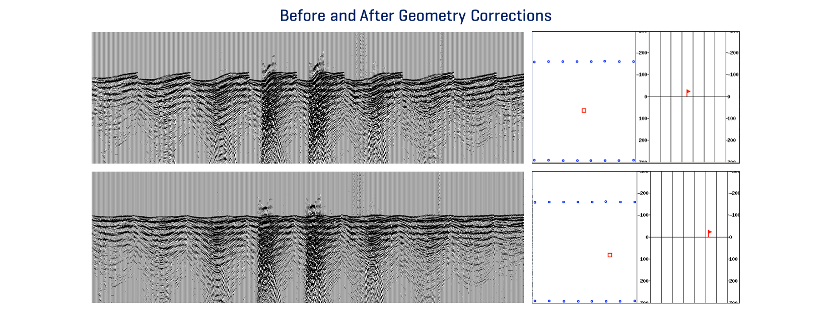
Having the correct survey geometry is a key first step in seismic processing and provides the necessary foundation for successful imaging of geology within the subsurface.
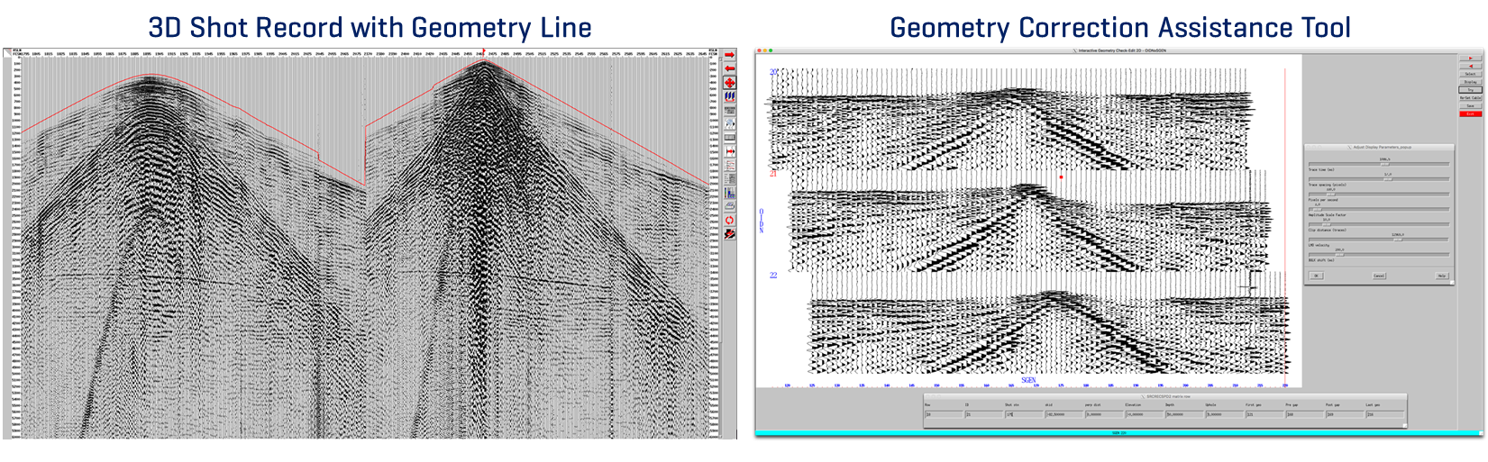
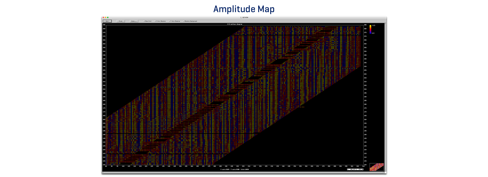
SeisUP® gives the seismic processor powerful, user-friendly solutions in order to easily QC, assign and correct seismic survey geometry. Through a variety of industry-tested seismic processing modules, SeisUP® allows different methods for the user to accurately and efficiently map source and receiver coordinates to their appropriate surface positions.